January 28, 2025
The dry January had us skiing bulletproof crusts and waiting for snow. Seeing a trip report from Alan Blair on Peakbaggers, I was surprised to see how good the coverage was in this low elevation couloir. I headed out with Mait and Darrion to try and get this somewhat obscure line. We had overly optimistic hopes of lining up this couloir in springlike corn conditions.
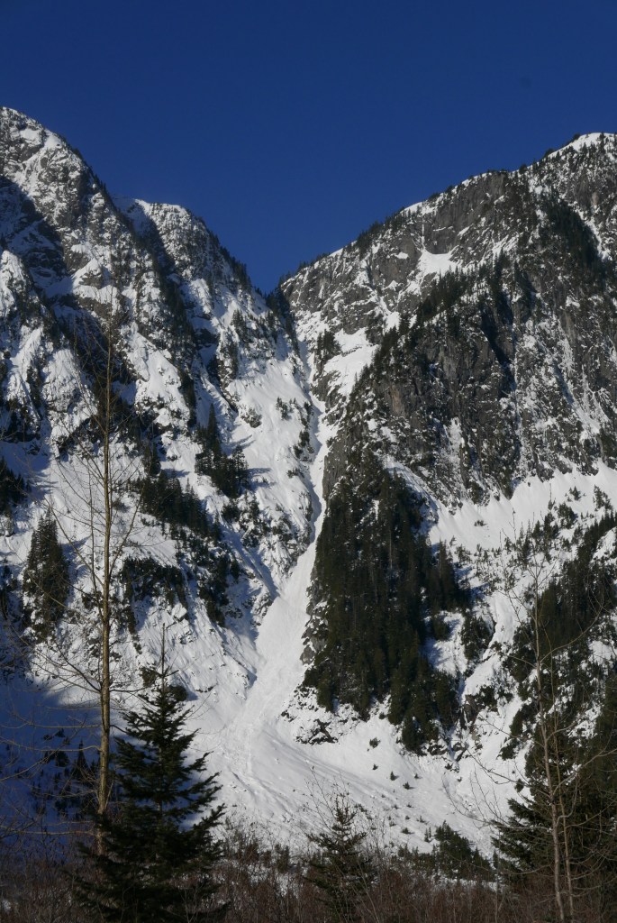
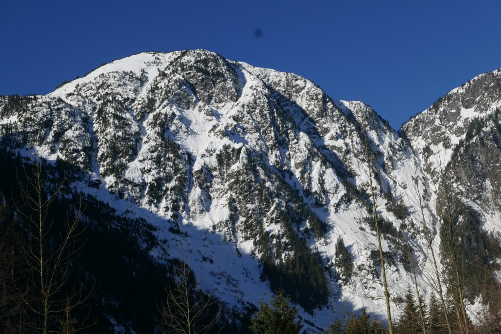
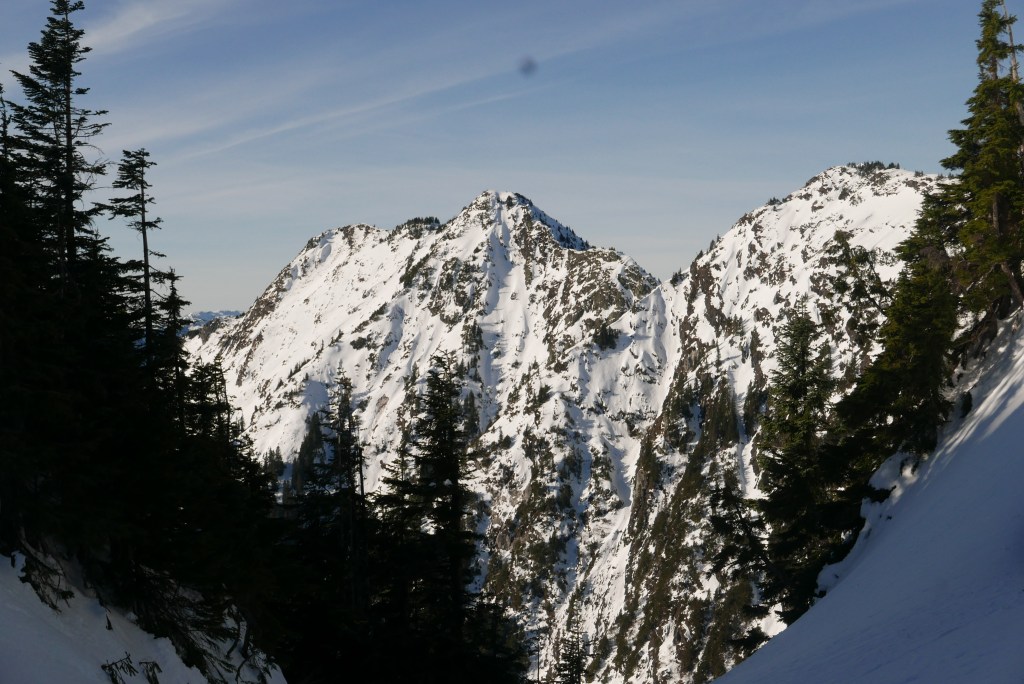
Squeah Mountain was never much on my radar before. The peak seems to get little traffic from climbers and hikers. We believe that we may have the first Ski Descent of this line (if not, please reach out and I will update).
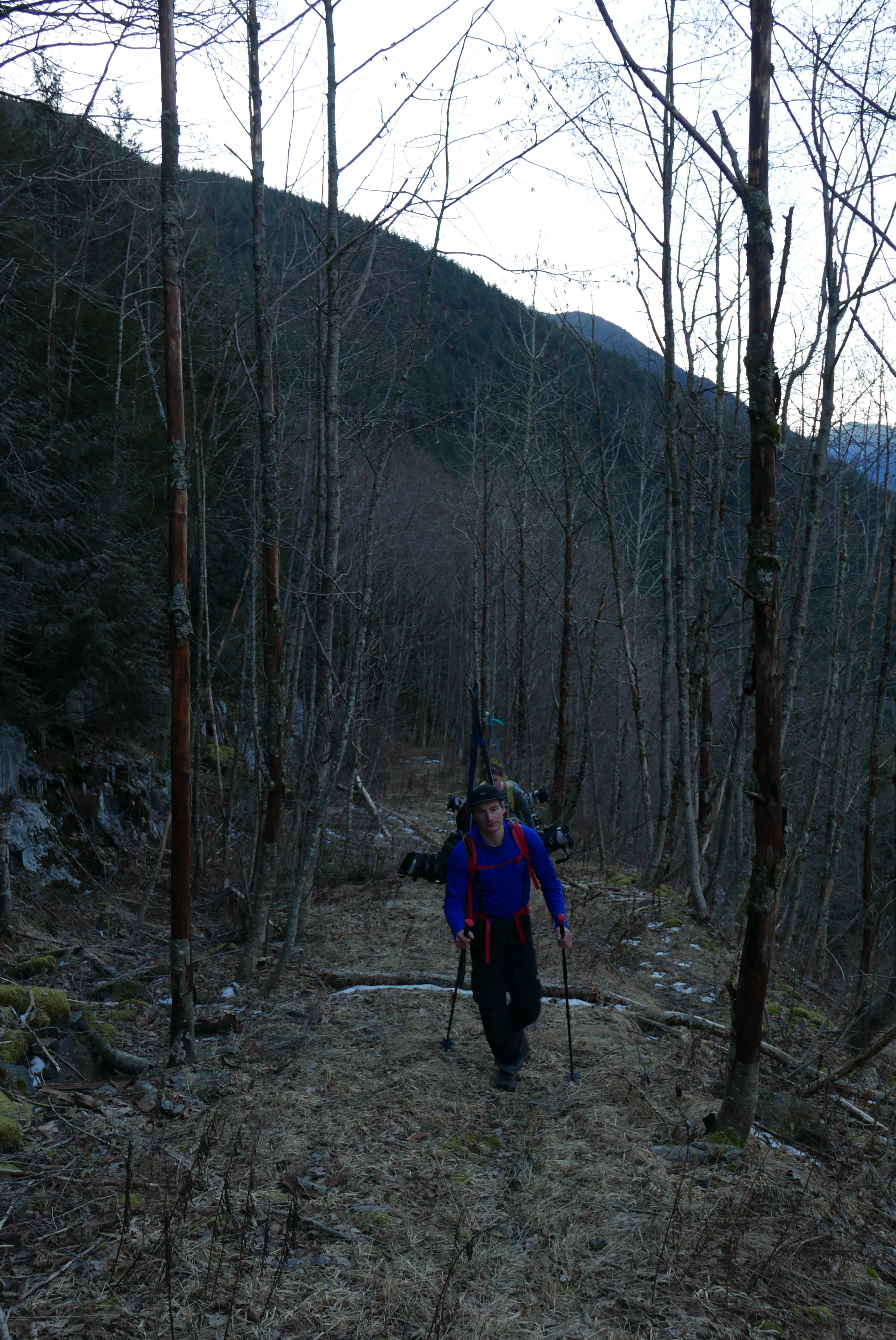
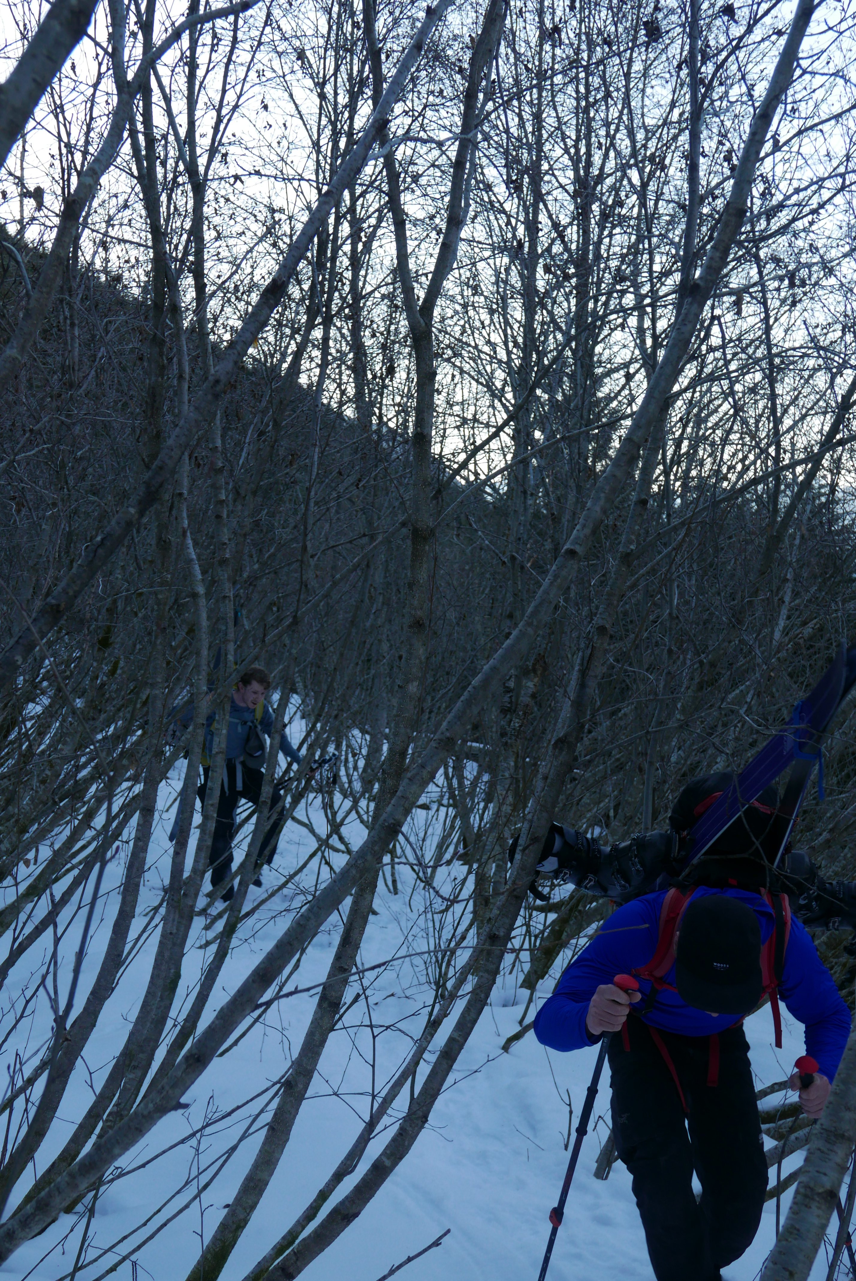
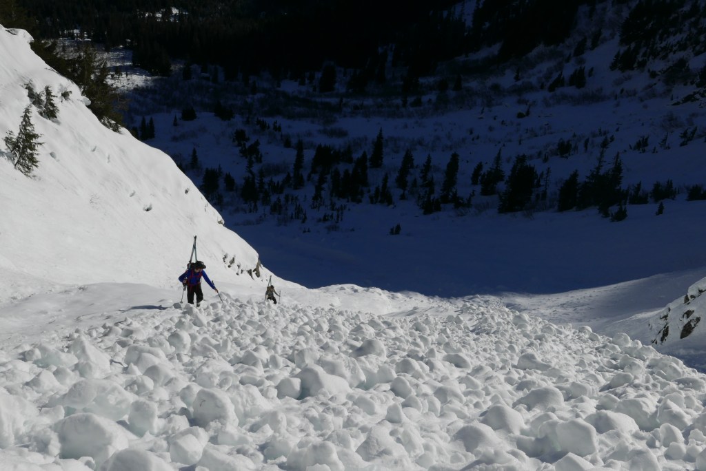
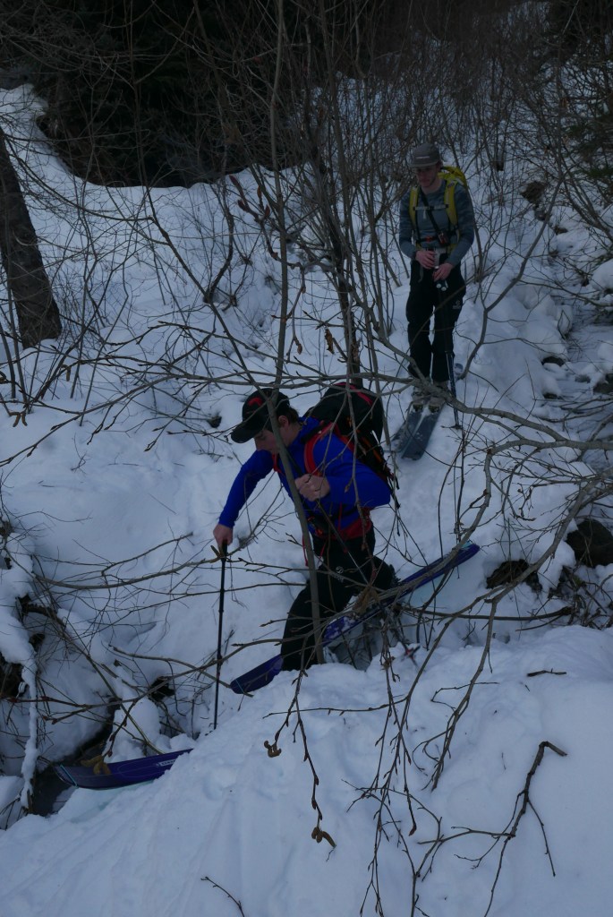
The approach starts at about 300m of elevation meaning we were faced with a long bootpack. At about halfway along Deneau creek FSR the Alders tightened, slowing our approach as we awkwardly wrangled skis through the weaving maze.
Coming into the basin we skinned up the apron, then donned crampons to start the bootpack. The snow was firm and supportive. The long dry spell had left us with a solid snowpack, the main hazard was chunks of snow and ice falling off the large south facing wall climbers right.
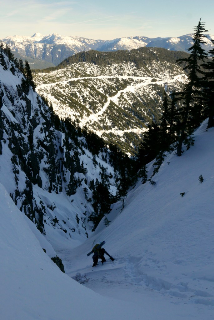
With rapidly changing conditions we opted to skip the summit and transition at the top of the Col. The east facing line had lost the Sun and was turning icier. The snow was fairly marginal. This made the ski down more engaging and technical. Still fun, but definitely no face shots.


After the icy ski out we went back to the alders, for a long thwack out. Overall it took us 12 hours car to car.
Route Summary/Beta
Parking: Theres a small sharp gravel turnoff on the right less than a km W of the Sowaqua turnoff. Go slow it’s easy to miss! Here you can drive a short distance to the start of Deneau Creek FSR
Approach: Follow Deneau Creek FSR, it will wrap around left into the basin at the base of the line.The road is easy to follow, don’t miss the fork at 570m elevation(go right) Alders get thick at about 900m, before this travel is easy and fast. We downloaded a GPX track from Steven Song’s website, this was helpful.
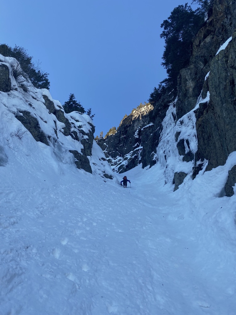
Couloir: The route is very skiable being about 40 degrees at is steepest and the smallest choke being 4m wide. The lower half is wider and closer to 35 degrees, higher up it steepens and gets tighter. Notably theres a south facing waterfall climbers right at 1400m. This forms water ice and gets sustained solar exposure on a clear day, it can rain down chunks of solid ice with warming. The top of the couloir sits at about 1550m with the bottom at 1050m and another 100m to valley bottom. This gives a very solid 600m ski descent from the Col.

Leave a reply to Brendan Morden Cancel reply