August 7, 2025
It seems every business seems to want at least a few bucks a month off your credit card. This can really start to add up if you’re a frugal ski/climbing bum. Here’s how I map and plan outdoor trips without paying for any specific mapping subscriptions.
Caltopo.com

My ‘meat and potatoes’ application. Caltopo has great base maps and a useful route planning tool for judging distance and vert. The free version has lots of great features and is very useful in itself. Going to the paid version unlocks 3D mapping. It also provides regularly updated satellite imagery. This can save you bouncing around to as many websites. Personally, I found its 3D imagery lacking compared to Google Earth. However, it’s a new feature, and they are likely to improve it with time.
Google Earth
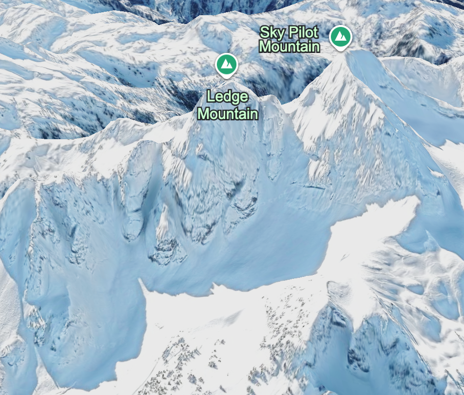
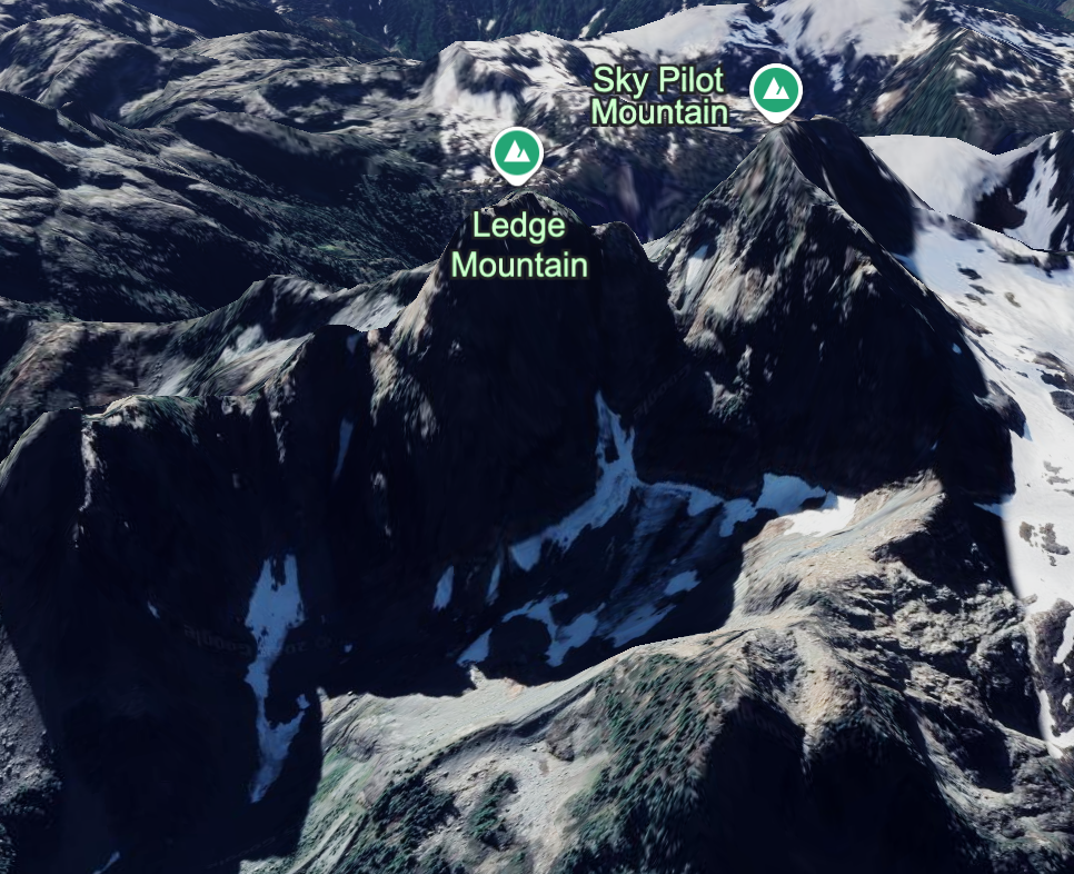
Google earth still has some of the best 3D satellite imagery around. One of the most useful features is the historical imagery tool. This allows you to see past years/season. Often you can get winter imagery for an area with this tool. Also looking at glaciers in different seasons/lighting can help highlight crevassed areas to be particularly wary about. Spending some time exploring an area with 3D imagery can give you a great mental image of the area. This can help you rely less on maps/apps in the field.
Shade Map.app

This is a very useful niche tool that overlays sun exposure on a topo map with exact time and date. It is very useful if you’re concerned about solar warming on an avalanche prone slope. It’s also handy if you’re trying to avoid getting baked like a lizard on a long rock route. I use this a lot for spring skiing, it will also help you nail your spring ‘corn’ harvest!
Backroad Status.com

Many of our mountain adventures in SWBC are very reliant on resource roads. Backroadstatus.com is by far the best resource for up to date road conditions. It is crowd sourced and has much more information than government sites. This website is a passion project from a local climber and peak bagger Francis Bailey. It has been incredibly valuable in planning my own trips.
Copernicus.eu

Another handy tool, Copernicus has very regular (every week or so) satellite imagery. This allows you to judge snow-lines for fall and spring objectives. On my last trip to the Anderson River Group I used it to see if there was any snow patches around that we could use for melt water on route. You can also use it to see any recent major changes to landscapes such as logging and landslides.
Garmin Explore*
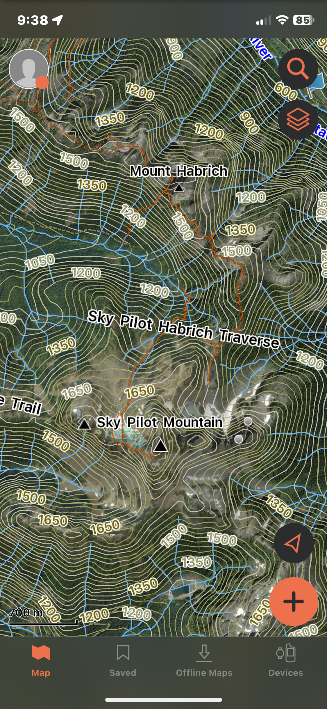
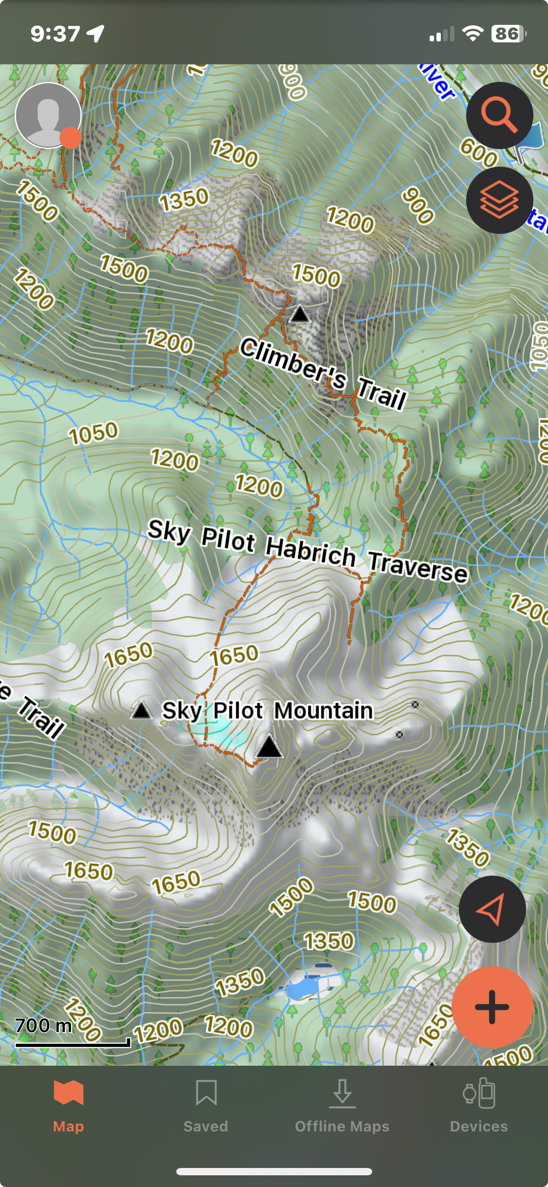
An asterisk here, because this is a paid for phone app. That said, it is included with your Garmin inReach subscription, which many people already have.
Note: Garmin Explore is a separate map from Garmin Earthmate which is the app used for messaging with an inreach mini. Garmin explore has much better mapping features.
Nothing particularly special about garmin explore, but I would recommend everyone has a basic app that allows them to download good quality topo maps. I like that this app also allows you to save satellite imagery. I avoid using a 3D app in the backcountry as they tend to use much more battery. It’s not a perfect app. It features slightly awkward 30m topo intervals. Additionally, it has a glitchy route planning tool that often completely misjudges distance and vert. That said it has been functional for my use.

Leave a comment